


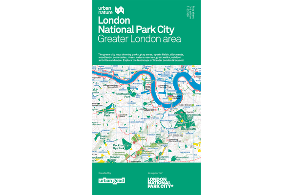
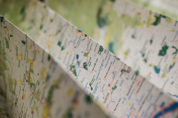

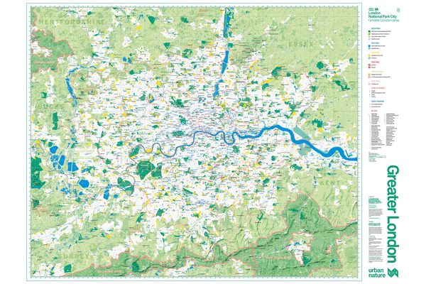
The first major re-release of the London National Park City map since its first publication in 2017. This edition has cleaner labels and more epic walks across the capital.
The map is off the press and shipping now. More photos coming soon!
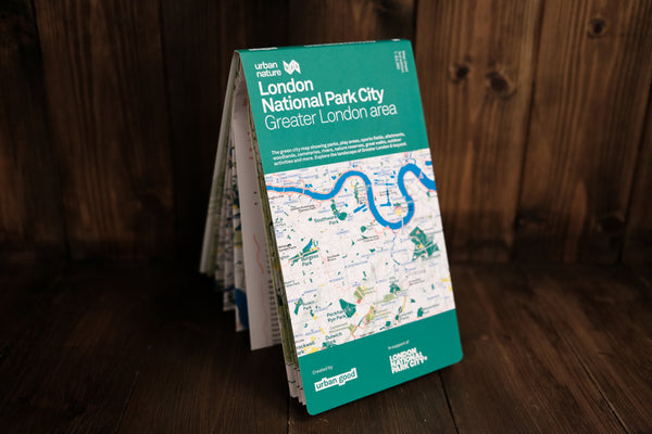
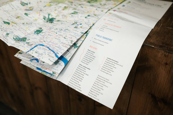
Printed on the same press as Ordnance Survey maps, it is a large-format (952mm x 1270mm), folded map – custom drawn to highlight all the places to explore.
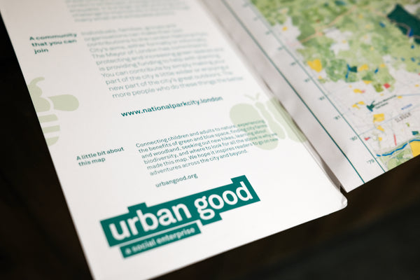
A little bit about this map
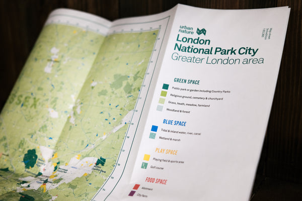
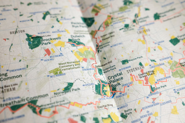
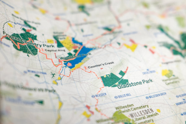
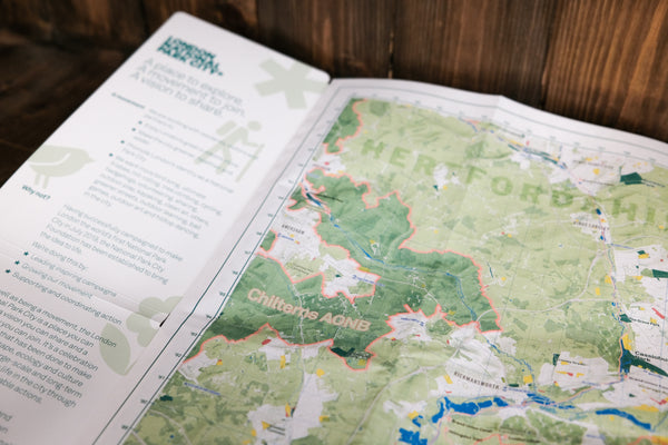
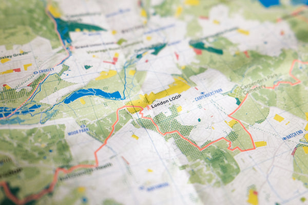
It shows London: the world’s first National Park City. The massive map includes all of the parks, woodlands, playing fields, national nature reserves, city farms, rivers, lakes, and all the spaces that contribute to London’s parkland. Some of the most iconic walks through and around London are drawn, such as the London Loop and Capital Ring, along with symbols marking places to swim outdoors, climb peaks, pitch a tent, or go sailing!
This edition is single-sided (good for pinning to a wall) and does not include the bonus materials printed on the reverse of previous editions.
Read more about the London National Park City here.
Thank you for supporting Urban Good CIC.
ISBN 9781914432002