


The London National Park City GREENWICH MAP is on sale!
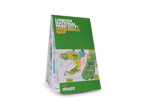
Printed on the same press as Ordnance Survey maps, it is a large-format (952mm x 1270mm), folded map – custom drawn to highlight all the places to explore and printed with a special Pantone ink.
A little bit about this map
It shows Greenwich and the surrounding areas in detail as part of the London National Park City. The massive map includes all the parks, woodlands, playing fields, nature reserves, city farms, rivers, canals and all the spaces that contribute to London’s parkland. Some of the most iconic walks through and around the borough are drawn, such as the Capital Ring and Green London Way, along with symbols marking places to swim outdoors, climb hills, pitch a tent or go kayaking.
The map was our first collaboration with Applied Wayfinding who bring years of map making experience to bear on our maps. With the support of our crowdfunders and a generous contribution from Berkeley we were able to make this map a reality.
Connecting children and adults to nature, experiencing the benefits of green and blue space, finding play spaces and sports pitches, seeking out new trails, cycle paths, learning about biodiversity and where to look for all the above is why we made this map.
On the reverse is a giant atlas with ideas for explorations and information graphics to tell you more about the park. Don't forget to turn it over!
Thank you for supporting Urban Good CIC.